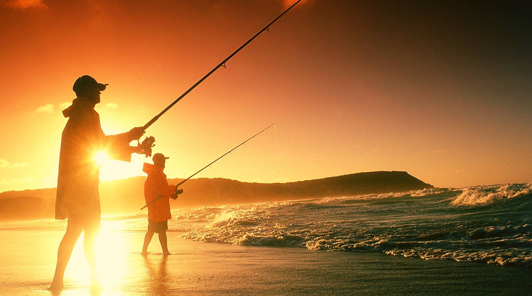
Best Selling Fishing Reels
Check out our featured products for the best-selling, well-reviewed, or brand new fishing reels the Sunniest Fishing Store has to offer.
![PENN RIV20LWLC Rival 20 Level Wind Reel w/Line Counter [1403998]](http://fishingsun.com/cdn/shop/products/87078XL.jpg?v=1633132337&width=900)
![Abu Garcia AMBS-5500LC Ambassadeur S Line Counter [1400534]](http://fishingsun.com/cdn/shop/products/80480XL.jpg?v=1633131666&width=900)
![PENN Spinfisher VI 6500 Spinning Reel [1481264]](http://fishingsun.com/cdn/shop/files/79667XL.jpg?v=1692670086&width=900)
![PENN Spinfisher VI 8500 Spinning Reel [1481266]](http://fishingsun.com/cdn/shop/files/79670XL.jpg?v=1689613220&width=900)

Trolling Motors
![Minn Kota Riptide Instinct QUEST 90/115 Trolling Motor w/Wireless Remote - 24/36V - 90/115LBS - 72" - Black [1358581]](http://fishingsun.com/cdn/shop/files/99976XL.jpg?v=1688180806&width=900)
![Minn Kota Riptide Instinct QUEST 90/115 Trolling Motor w/Wireless Remote - 24/36V - 90/115LBS - 72" - Black [1358581]](http://fishingsun.com/cdn/shop/files/99976BXL.jpg?v=1688180808&width=200)
![Minn Kota Riptide Instinct QUEST 90/115 Trolling Motor w/Wireless Remote - 24/36V - 90/115LBS - 72" - Black [1358581]](http://fishingsun.com/cdn/shop/files/99976CXL.jpg?v=1688180809&width=200)
![Minn Kota Riptide Instinct QUEST 90/115 Trolling Motor w/Wireless Remote - 24/36V - 90/115LBS - 72" - Black [1358581]](http://fishingsun.com/cdn/shop/files/99976DXL.jpg?v=1688180811&width=200)


![Minn Kota PowerDrive 55/US2/CP Trolling Motor - 12V-55lb-54" [1358746]](http://fishingsun.com/cdn/shop/files/103364XL.jpg?v=1713911427&width=900)
![Minn Kota PowerDrive 55/US2/CP Trolling Motor - 12V-55lb-54" [1358746]](http://fishingsun.com/cdn/shop/files/103364XL.jpg?v=1713911427&width=200)
![Minn Kota PowerDrive 70 BT Trolling Motor - 24V-70lb-60" *Remanufactured [1377633]](http://fishingsun.com/cdn/shop/files/80339XL.jpg?v=1713456158&width=900)
![Minn Kota PowerDrive 70 BT Trolling Motor - 24V-70lb-60" *Remanufactured [1377633]](http://fishingsun.com/cdn/shop/files/80339XL.jpg?v=1713456158&width=200)
![Minn Kota Riptide SF 80 Saltwater Bow-Mount Trolling Motor - 24v-80lb.-52" [1363640]](http://fishingsun.com/cdn/shop/products/33634XL.jpg?v=1633126574&width=900)
![Minn Kota Riptide SF 80 Saltwater Bow-Mount Trolling Motor - 24v-80lb.-52" [1363640]](http://fishingsun.com/cdn/shop/products/33634XL.jpg?v=1633126574&width=200)
![Minn Kota Ulterra 80 Trolling Motor w/Wireless Remote - MEGA Down Imaging - 24V - 80LB - 60" [1358971]](http://fishingsun.com/cdn/shop/files/99953XL.jpg?v=1688050667&width=900)
![Minn Kota Ulterra 80 Trolling Motor w/Wireless Remote - MEGA Down Imaging - 24V - 80LB - 60" [1358971]](http://fishingsun.com/cdn/shop/files/99953XL.jpg?v=1688050667&width=200)
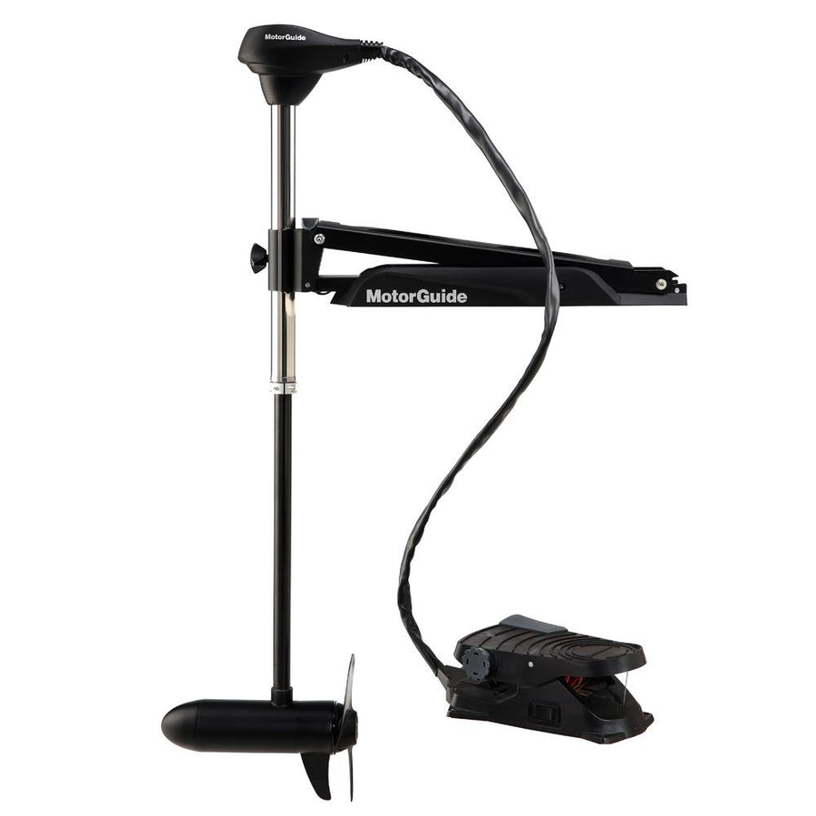
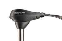
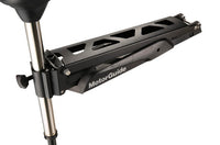
![MotorGuide Xi3-55SW 36" Kayak Motor - 12V - GPS - FOB [941600120]](http://fishingsun.com/cdn/shop/products/93786XL.jpg?v=1649736830&width=900)
![MotorGuide Xi3-55SW 36" Kayak Motor - 12V - GPS - FOB [941600120]](http://fishingsun.com/cdn/shop/products/93786BXL.jpg?v=1649736832&width=200)
![MotorGuide Xi3-55SW 36" Kayak Motor - 12V - GPS - FOB [941600120]](http://fishingsun.com/cdn/shop/products/93786CXL.jpg?v=1649736834&width=200)
![MotorGuide Xi3-55SW 36" Kayak Motor - 12V - GPS - FOB [941600120]](http://fishingsun.com/cdn/shop/products/93786DXL.jpg?v=1649736835&width=200)
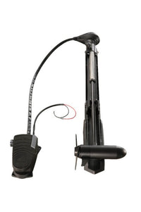
![Minn Kota Maxxum 70/BG - Bowguard Foot Control - 24V-70lb-52" [1368562]](http://fishingsun.com/cdn/shop/products/57902XL.jpg?v=1633128337&width=900)
![Minn Kota Maxxum 70/BG - Bowguard Foot Control - 24V-70lb-52" [1368562]](http://fishingsun.com/cdn/shop/products/57902BXL.jpg?v=1633128339&width=200)
![Minn Kota Maxxum 70/BG - Bowguard Foot Control - 24V-70lb-52" [1368562]](http://fishingsun.com/cdn/shop/products/57902CXL.jpg?v=1633128341&width=200)
![Minn Kota Maxxum 70/BG - Bowguard Foot Control - 24V-70lb-52" [1368562]](http://fishingsun.com/cdn/shop/products/57902DXL.jpg?v=1633128342&width=200)
The Sunniest Fishing Store - FISHING SUN
Welcome to our Fishing Sun store! We specialize in providing high-quality fishing and marine products for all your fishing needs. Whether you're an experienced angler or just starting out, we have everything you need to make your fishing trips successful and enjoyable. Based in sunny Orlando, Florida, our store is located in the heart of one of the world's top fishing destinations. Our team of fishing experts has decades of experience on the water, and we use that knowledge to handpick the best fishing and marine products for our store. We only carry products that we ourselves would use and trust on our own fishing trips.
Our selection includes a wide range of fishing gear, from rods and reels to lures and tackle. We also carry boating and marine accessories, such as life jackets, navigation systems, and boat maintenance supplies. You'll find products from top brands in the industry, as well as up-and-coming names that we believe in.
At our online store, we believe that customer satisfaction is key. That's why we offer competitive pricing, fast shipping, and top-notch customer service. We want to help you make the most of your time on the water and catch the biggest fish of your life. Shop with us today and experience the best in fishing and marine products!